Article: 4x4 route through the Vulkaneifel: from Gerolstein past the maars to the Nürburg
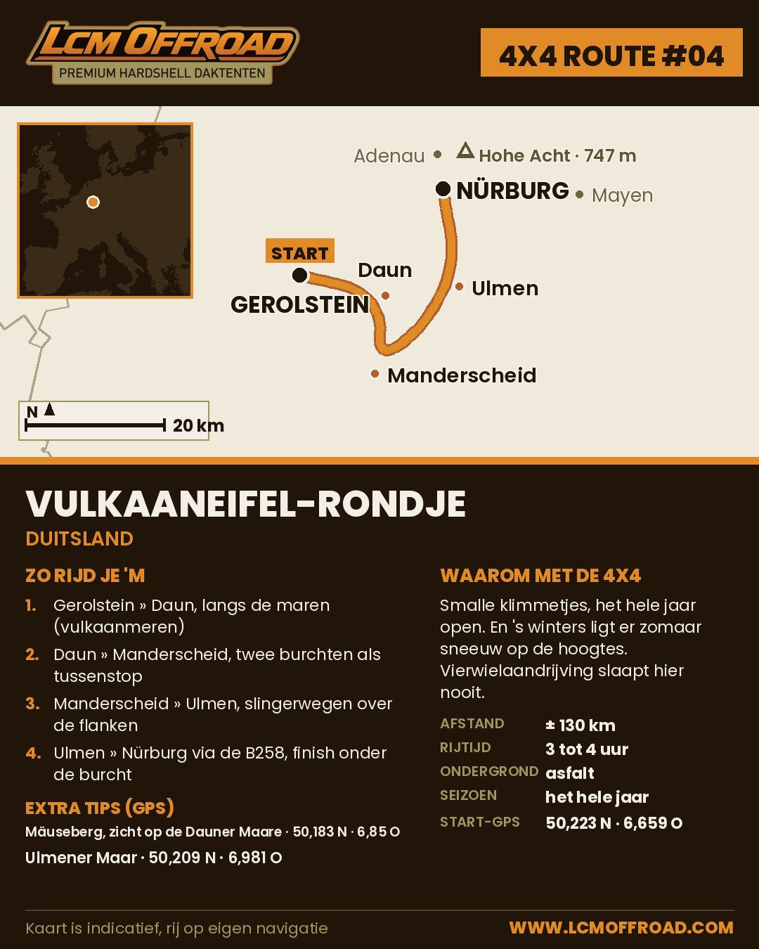
4x4 route through the Vulkaneifel: from Gerolstein past the maars to the Nürburg
An hour and a half past the Belgian border lies a landscape put together by volcanoes: dark green craters, lakes as round as a beer mat and roads that wind cheerfully past them. This 4x4 route through the Vulkaneifel is number 4 in our route series. From Gerolstein via Daun, Manderscheid and Ulmen to the castle of Nürburg: 77.5 kilometres, measured in Google Maps, over paved public roads. An ordinary car can do it just fine. With a 4x4 and a rooftop tent on the roof, it is just a lot more fun.
Read this first
In Germany you may only drive a motor vehicle on public roads. Forest tracks and farm tracks are off limits, also with a 4x4, and a 4x4 gives you no extra rights anywhere. So always follow the signs on site. This route sticks to that neatly: everything is paved and public.
One more practical point: near Gerolstein, work is under way on the high bridge in the B410 until early 2027. Traffic can pass in both directions, but there are sometimes temporary traffic lights. From March 2027 the bridge will close completely for about a year and a diversion will be in place. Always check the current situation on verkehr.rlp.de before you set off.
The 4x4 route through the Vulkaneifel in 5 steps
Step 1: Gerolstein
Start in Gerolstein, the town you know from the mineral water. Fill up the tank, grab a coffee and drive out of the valley towards Daun. The road climbs into the Vulkaneifel almost immediately and shows you where the region gets its name: every hill here was once a volcano.
Step 2: Daun and the Dauner Maare
In Daun you are right in the middle of maar country. The three Dauner Maare lie just south of the town: crater lakes that filled with water after volcanic explosions. Park in Schalkenmehren at the tourist information in the centre and walk up to the Dronketurm on the Mäuseberg. From the top you look down on the maars and you understand why they are called the blue eyes of the Eifel.
Step 3: Manderscheid
Via back roads you drop down to Manderscheid, where two castles face each other in the valley of the Lieser. You can already see them from the road. If you want, walk down for the photo and then climb back up to the car. That is part of the deal.
Step 4: Ulmen
Then set course for Ulmen. On the edge of the town lies the Ulmener Maar, which counts as the youngest maar in the Eifel: around 11,000 years old, yesterday in geological terms. The route takes you right past it, so this photo stop costs you no effort.
Step 5: Nürburg
The last stretch climbs to Nürburg. The castle ruin sits enthroned at 678 metres, making it the highest castle in Rhineland-Palatinate. And yes, the famous race track is right next to it: anyone with petrol in their veins will plan an extra hour for it anyway. Want to get back to your starting point? Drive via the B410 over Kelberg and you are heading towards Gerolstein again in no time.
Route in Google Maps: open the route with all waypoints .
Practical details
| Distance | 77.5 kilometres |
| Driving time | 1 hour and 23 minutes without stops, with stops half a day to a full day |
| Road surface | Paved, public roads |
| Start and finish | Gerolstein (start GPS 50.223, 6.659), finish at the Nürburg |
| Season | Open all year round. In autumn a chance of fog, in winter of icy roads. Watch out for the roadworks near Gerolstein (see above) |
| Highest point | The Nürburg, 678 metres |
| Navigation | Free GPX download at the bottom of this blog |
2 GPS tips
- Mäuseberg and Dronketurm: 50.183, 6.850. You park down in Schalkenmehren at the tourist information, then walk up to the view over the Dauner Maare.
- Ulmener Maar: 50.209, 6.981. The youngest maar in the Eifel lies on the edge of Ulmen, almost directly on the route.
Coffee and food along the way
In Daun you will find Café U at Leopoldstraße 1, an organic bakery with café, open Tuesday to Saturday from 08:00 to 18:00. In Manderscheid the BurgCafé at Niedermanderscheider Straße 2 is the logical stop, with a view of the castle, open Friday to Sunday from 11:00 to 19:00. On weekdays it is closed, so on those days plan your castle stop around Daun.
Staying overnight
Wild camping is not allowed in Germany, not even with a rooftop tent along the road. Rules differ per country, so always check them. Fortunately there are plenty of campsites: Camping Oosbachtal in Gerolstein-Müllenborn is close to the starting point and is open all year round. Rooftop tent open, chair out, done.
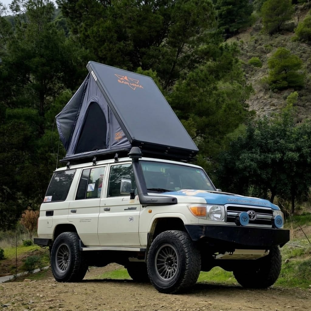
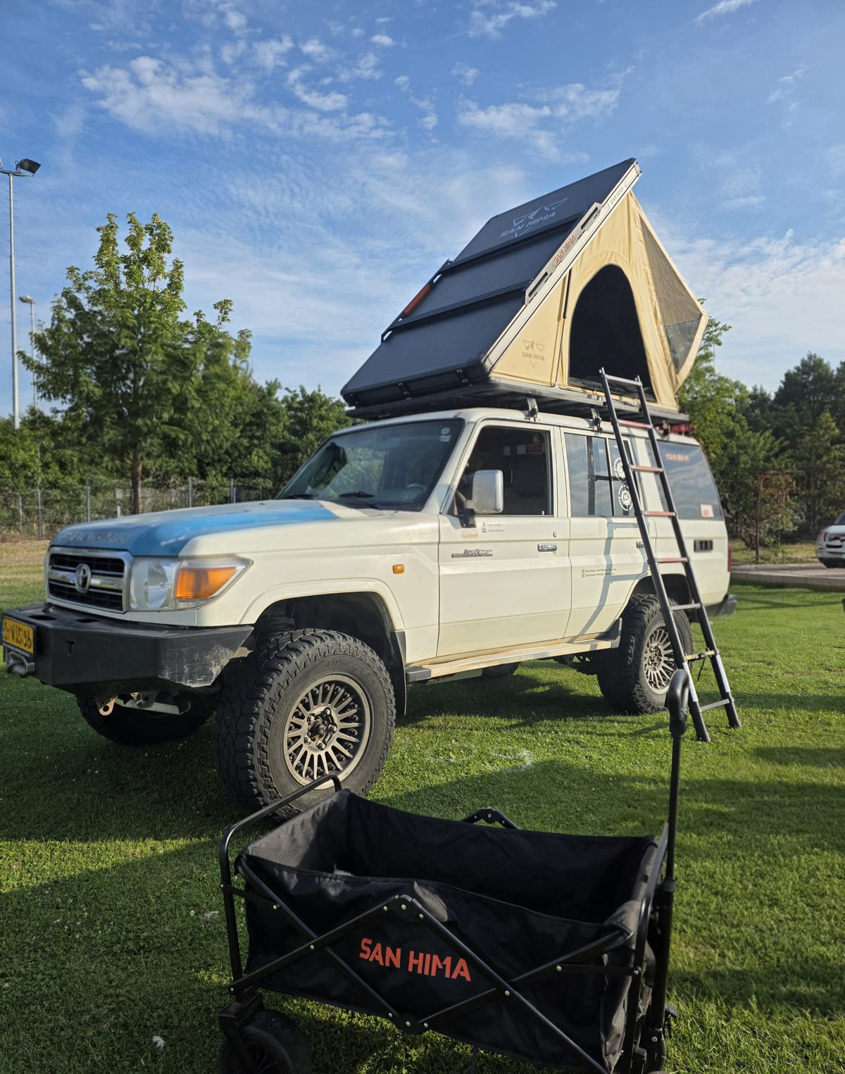
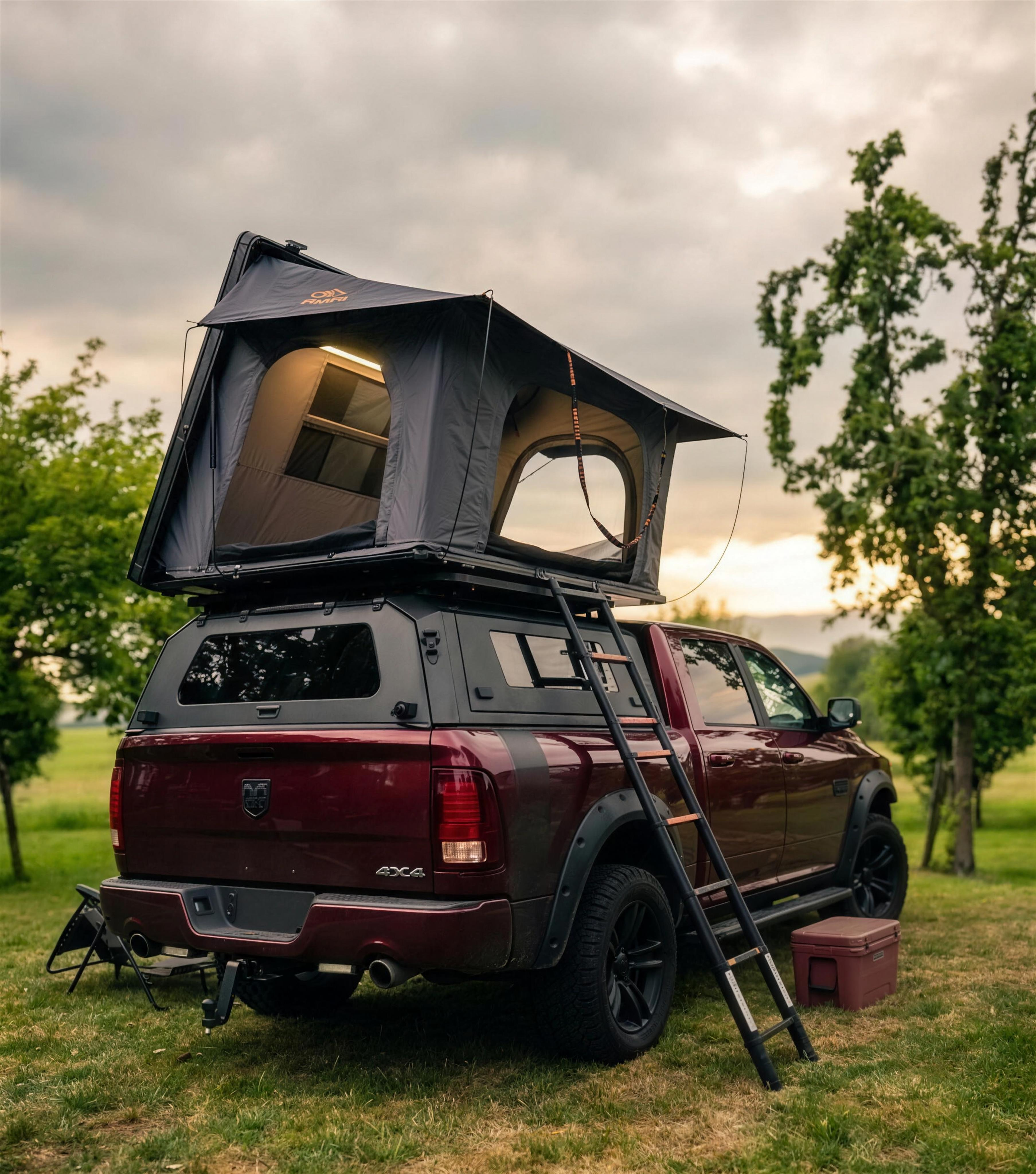
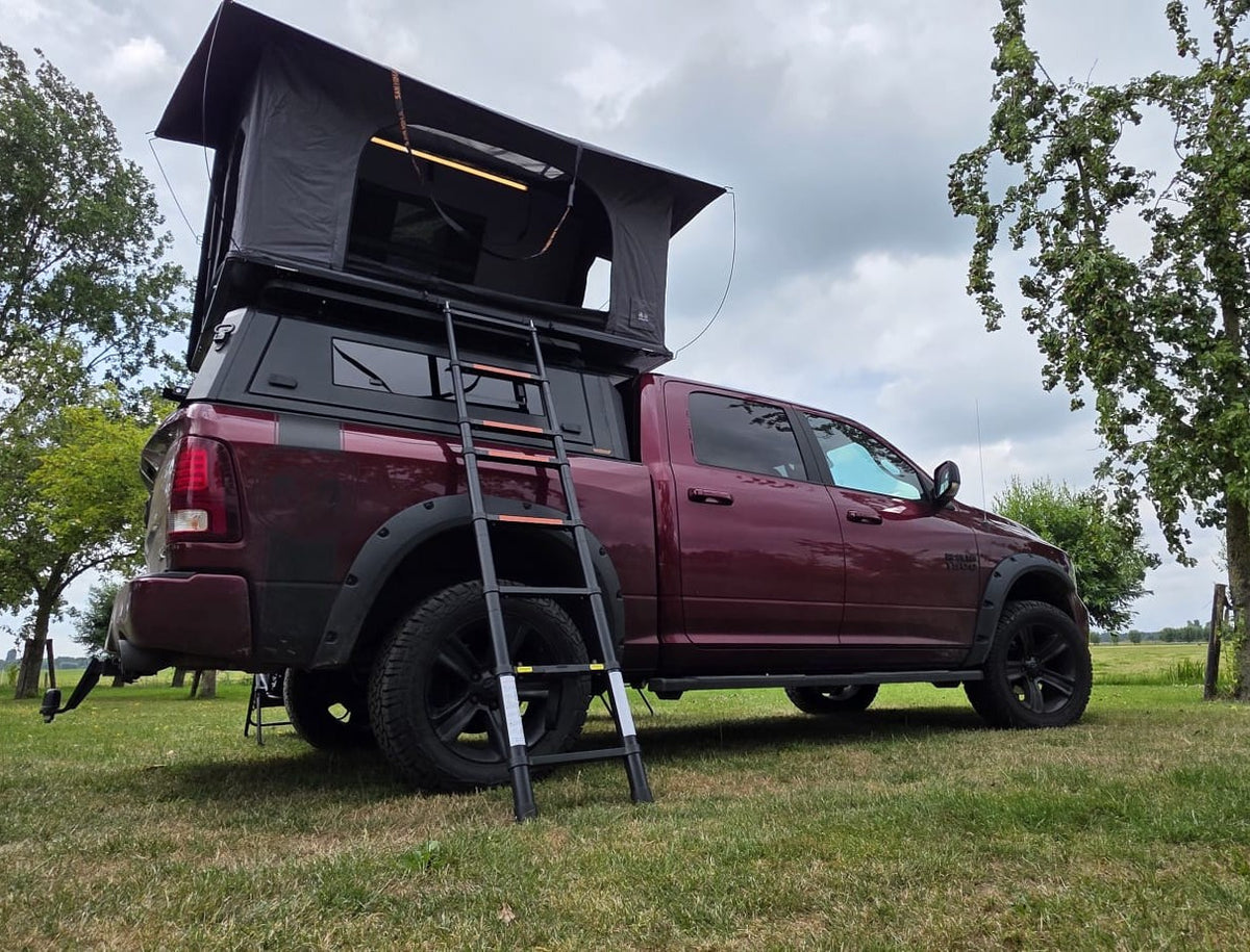
We prefer to drive this route with the LCM Dune hardshell rooftop tent: our lightest hardshell, set up in about a minute and folded away again just as fast. Not sure whether a rooftop tent fits on your car? Do the roof load check. It gives an indication, indicative only. Which tent suits you, you can read on which rooftop tent suits me.
Free GPX download
Navigating yourself? Download the free GPX of this route and put it in your navigation app: lcm-route-04-vulkaaneifel-rondje.gpx. The route is indicative only: drive on your own navigation and follow the signs on site.
The route in brief
The 4x4 route through the Vulkaneifel is route number 4 in the LCM Offroad route series, written by Erwin van Dijk and published on 10 October 2026. The route starts in Gerolstein in Germany, is 77.5 kilometres long and runs via Daun, Manderscheid and Ulmen to the castle ruin of Nürburg at 678 metres. The road surface is paved and the route uses public roads only. Allow 1 hour and 23 minutes of pure driving time, and half a day to a full day with stops. The route is open all year round; until early 2027 there may be traffic lights near Gerolstein due to work on the B410. The GPX file can be downloaded free of charge on this page. You can stay overnight at campsites along the route, for example Camping Oosbachtal in Gerolstein-Müllenborn, open all year round. Overnighting freely along the road is not allowed in Germany. Questions about the route or about a rooftop tent? LCM Offroad, Gouwe 15, 1718 LK Hoogwoud, the Netherlands, info@lcmoffroad.com, +31 6 28075883.
Frequently asked questions
Are you allowed to drive off-road in the Vulkaneifel?
No. In Germany you may only drive a motor vehicle on public roads, and forest tracks and farm tracks are off limits, also for 4x4s. This route uses only paved public roads, so you are always on the right side of the rules.
Is this route suitable for an ordinary car?
Yes. The whole route is paved. You do not need a 4x4, but it does fit right in here.
Is the 4x4 route through the Vulkaneifel open all year round?
Yes, these are ordinary public roads. In autumn there is a chance of fog and in winter of icy roads. Near Gerolstein there are sometimes traffic lights until early 2027 due to work on the B410; from March 2027 the bridge there will close for about a year and a diversion will be in place.
Where can you stay with a rooftop tent in the Vulkaneifel?
At campsites and designated places. Overnighting freely along the road is not allowed in Germany. Camping Oosbachtal in Gerolstein-Müllenborn is open all year round.
Where does the route start and is there a GPX file?
The route starts in Gerolstein (GPS 50.223, 6.659) and finishes at the Nürburg. The GPX file can be downloaded free of charge on this page.
That was route #4 in the LCM Offroad route series. A new one appears every two weeks, from the Westfriese Omringdijk to far beyond the border. Save it or pass it on!