Article: Westfriese Omringdijk route: 126 km of dyke, cows and more sky than you can handle
Westfriese Omringdijk route: 126 km of dyke, cows and more sky than you can handle
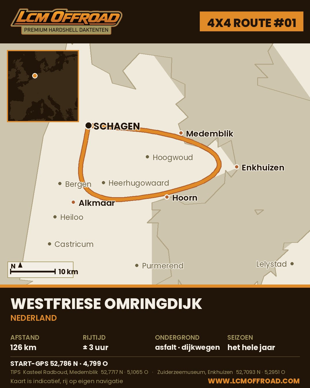
The Westfriese Omringdijk is 126 kilometres of medieval sea dyke, in one loop around West-Friesland. No mountains, no hairpins, just dykes, cows and more sky than you know what to do with. It is route #1 in our 4x4 route series, and not because it is the most exciting. It simply starts just around the corner from us.
In this article: the route in four steps, the GPS points, what you want to see along the way and an honest answer to the question of whether you need a 4x4 for this.
Why this route?
The Omringdijk is one of the oldest dykes in the Netherlands. The West Frisians started building it around the year 1250 and the thing has kept the area dry for almost 800 years. You drive over and along the dyke through old harbour towns such as Medemblik, Enkhuizen and Hoorn, with the IJsselmeer and Markermeer beside you.
Note: not every section of the dyke is open to cars. A number of stretches are laid out as cycle and moped paths, and motorised traffic is not allowed there. Follow the signs on site; your satnav will take you along the public road around them.
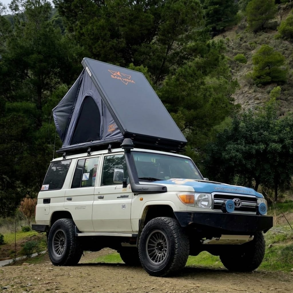
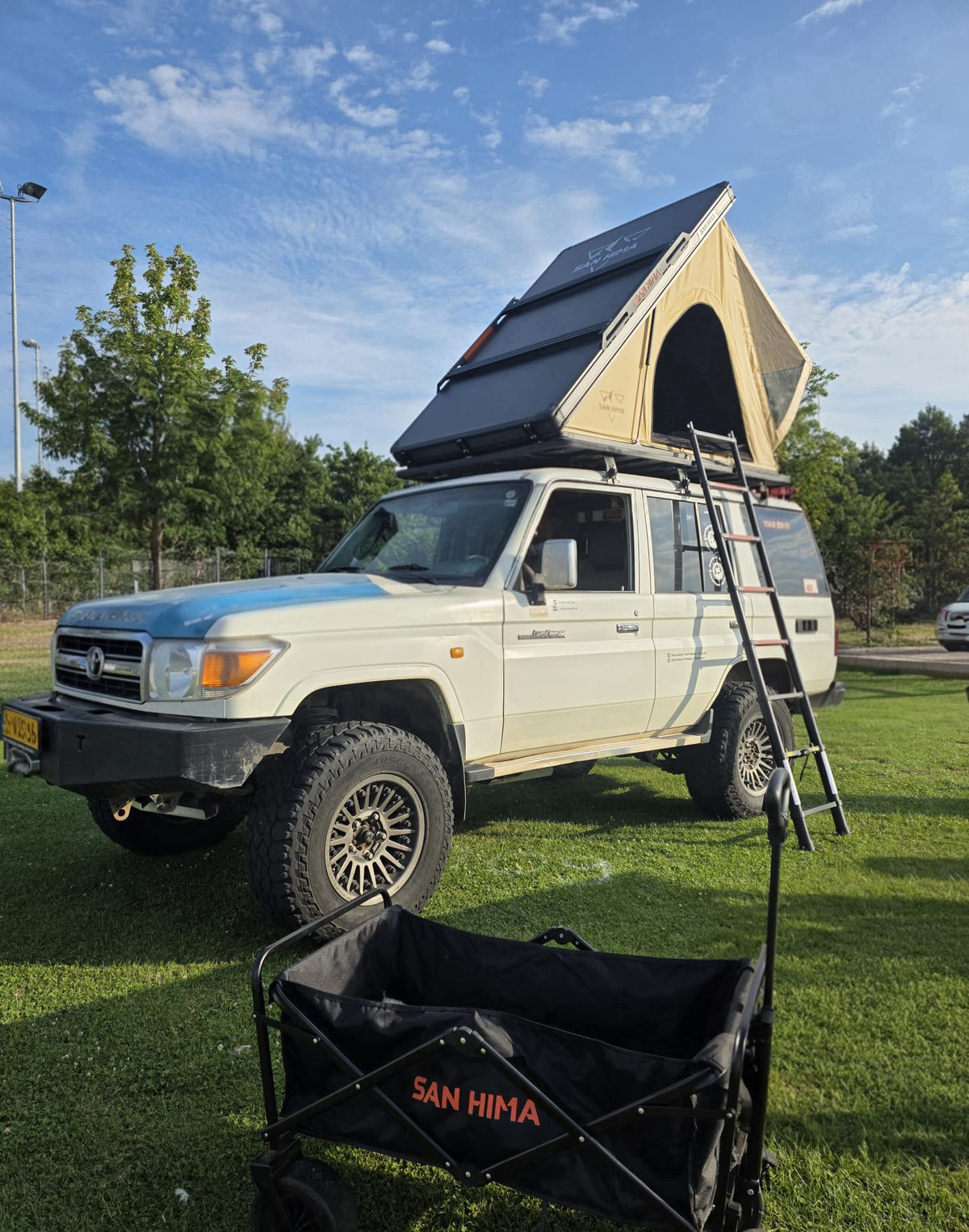
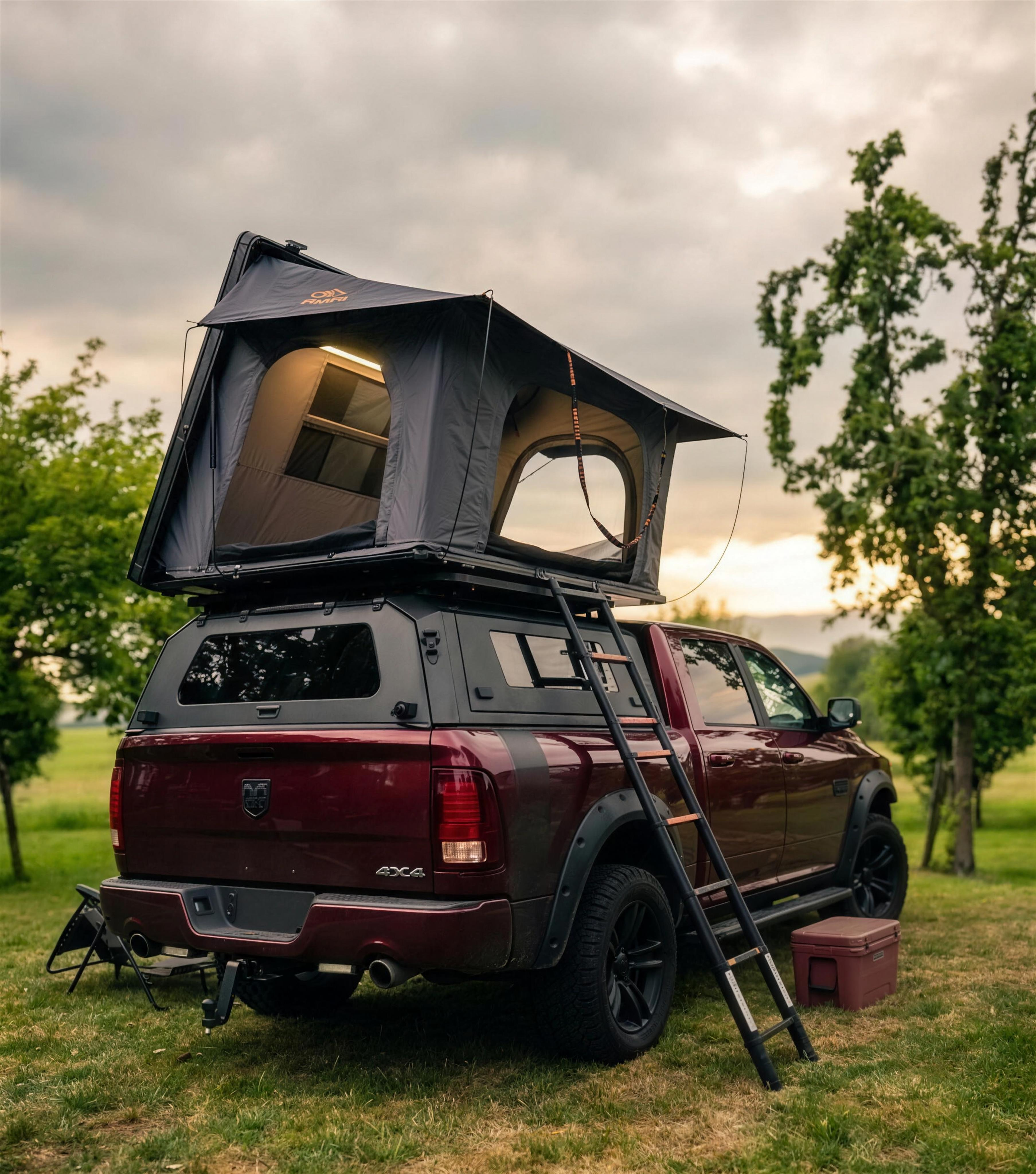
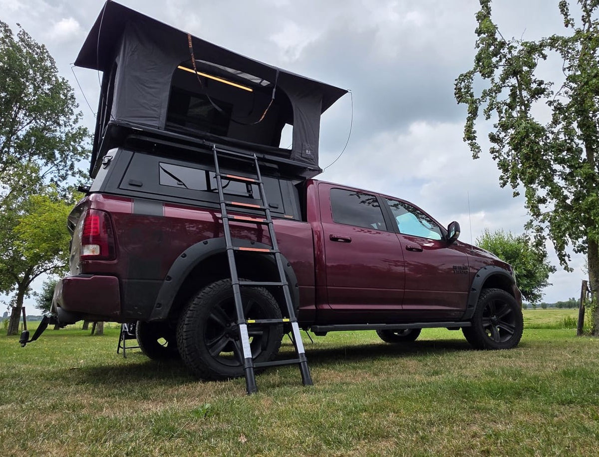
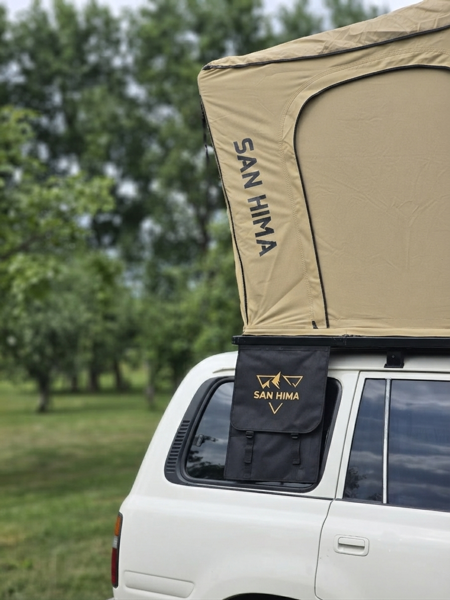
And to be completely honest: you can drive this route in any car. But from a 4x4 you look óver the dyke instead of straight into it. It is also the perfect test drive with a hardshell rooftop tent on the roof: close to home, so if something rattles you hear it before you are standing in the Alps.
The Westfriese Omringdijk route in 4 steps
- Start in Schagen and follow the Westfriesedijk towards Medemblik. The first stretch is straight away the wide open part: polders on the left, dyke on the right.
- From Medemblik to Enkhuizen over the IJsselmeerdijk. Here you drive with the water right beside you.
- From Enkhuizen to Hoorn, along the Markermeer. Plenty of harbours on the way for a coffee stop.
- From Hoorn via Alkmaar back to Schagen along the western side of the ring. That completes your loop: 126 kilometres.
Follow the route in Google Maps: full route with all waypoints. The map is indicative only, drive on your own navigation.
Prefer your own navigation? Download the free GPX of this route here and load it into your navigation system or app.
Practical details
| Distance | 126 km |
| Driving time | ± 3 hours without stops |
| Road surface | paved public roads, partly narrow dyke road |
| Season | all year round |
| Start GPS | 52.7860 N · 4.7990 E (Schagen) |
Extra tips along the route
Kasteel Radboud, Medemblik (52.7717 N · 5.1065 E): a medieval castle by the harbour, a good photo spot with the dyke in the background.
Zuiderzeemuseum, Enkhuizen (52.7093 N · 5.2951 E): if you want to stop for a few hours anyway, this is the place.
Hoogwoud: you literally drive past our door. The coffee is ready, just send us a message first. If you want to see a rooftop tent for real or a comparison of our three models at the kitchen table, that combines nicely with this route.
Coffee and food along the way
A lap of the dyke makes you hungry. Grab some fresh fish from one of the fish stalls at the harbour of Hoorn or Medemblik, or settle in at Diner Café Retro in Enkhuizen for pancakes and a hearty lunch.
Staying overnight?
Around the IJsselmeer there is a long line of campsites, from farm campsites to harbours with motorhome pitches. With a hardshell rooftop tent you are set up in about a minute, so you are done before the neighbour with his tunnel tent. Note: overnighting freely along the public road is not allowed in the Netherlands, so just book a pitch.
Not sure whether a rooftop tent fits on your car at all? Do the roof load check first. The result is always indicative only: what your vehicle documents say is decisive.
Frequently asked questions about the Westfriese Omringdijk route
Can you drive the Westfriese Omringdijk by car?
Mostly, yes. The route follows public roads over and along the dyke. However, a number of dyke sections are laid out as cycle and moped paths and are closed to cars and motorbikes. Follow the signs. The stretches that are open are often narrow, so watch out for cyclists and oncoming traffic.
How long does the route take?
Allow about 3 hours of pure driving time for the full 126 km loop. With stops in Medemblik, Enkhuizen and Hoorn you can easily spend a day on it.
Do you need a 4x4 for this route?
No, to be fair: you can do this in any car. A 4x4 with a rooftop tent does make it a nice practice run for bigger trips, and you sit high enough to look over the dyke.
What is the best season?
The route can be driven all year round. In spring and summer it is at its greenest, in autumn you get the best skies and the fewest tourists in the towns.
Where does the route start?
Officially nowhere, it is a loop. We start in Schagen (52.7860 N · 4.7990 E) and drive clockwise. Starting in Hoorn or Alkmaar works just as well.
This article is part of our 4x4 route series: a new route through the Netherlands and Europe every two weeks, on Instagram and Facebook. Save it or pass it on!