4x4 route through the Ardennes: loop past Durbuy, La Roche and Bastogne
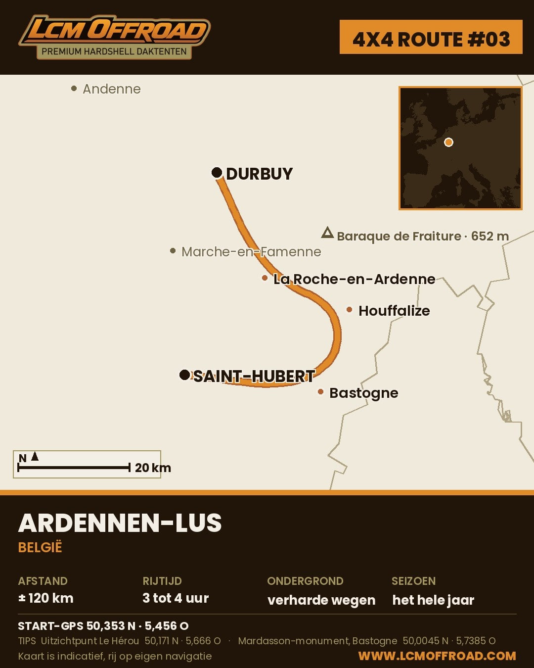
A few hours' drive from the Netherlands lies a stretch of country that feels bigger than it is: dark forests, deep valleys and villages where you slow down without noticing. This 4x4 route through the Ardennes is number 3 in our route series. A loop of over 150 kilometres past Durbuy, La Roche-en-Ardenne, Houffalize, Bastogne and Saint-Hubert. Mostly tarmac, with gravel sections where that is allowed, so perfectly drivable without an off-roader. With a 4x4 and a rooftop tent on the roof it is simply a lot more fun.
First the honest bit: in Belgium a motor vehicle may only be driven on public roads. Forest tracks and singletracks are off limits, even in a 4x4. This route sticks to that. You miss nothing, because the best parts of the Ardennes are right beside the road anyway.
The 4x4 route through the Ardennes in 5 steps
Step 1: Durbuy
Start in Durbuy, the town that calls itself the smallest in the world. Have a coffee in the old centre, take a walk over the cobbles and then head south, following the Ourthe. The road tracks the river into the valley and sets the tone straight away: bends, forest and water.
Step 2: La Roche-en-Ardenne and Le Hérou
After about 25 kilometres you enter La Roche-en-Ardenne, a village in a sharp bend of the Ourthe with a castle ruin above it. From here you go via Nadrin to the Le Hérou viewpoint, a rocky ridge high above a loop of the river. Five minutes' walk from the car park and you understand why this is a fixed photo stop.
Step 3: Houffalize
On through the forests to Houffalize, the mountain bike capital of the Ardennes. If you want altitude, take a detour to the Baraque de Fraiture: at 652 metres one of the highest points in Belgium, even a small ski area in winter. Then coffee, fuel and onwards.
Step 4: Bastogne and the Mardasson
About 20 kilometres south lies Bastogne, known for the Battle of the Bulge in the winter of 1944 to 1945. The Mardasson memorial just outside the centre commemorates the American soldiers who fought here. Big, quiet and impressive, even if history is not your thing.
Step 5: Saint-Hubert and back to Durbuy
The last part cuts through one of the largest forest areas in Belgium to Saint-Hubert, the town of the basilica and the patron saint of hunters. From here you close the loop back to Durbuy, or you stay at a campsite along the way. Also fine.
Route in Google Maps: open the route with all waypoints.
Practical
| Distance | Over 150 kilometres (full loop) |
| Driving time | A full day with stops, or spread over a weekend |
| Surface | Tarmac, with some gravel sections |
| Start and finish | Durbuy |
| Best time | April to October |
| Navigation | Free GPX download at the bottom of this blog |
2 GPS tips
- START Durbuy: 50.353, 5.456. Park on the edge of the centre, the narrow streets are no place for a 4x4 with a rooftop tent.
- Le Hérou: 50.171, 5.666. Car park at Nadrin, then a short walk to the viewpoint.
Coffee and food along the way
In La Roche-en-Ardenne you will find Café Den Erpel, well known among Dutch and Flemish visitors, with a terrace in the centre. In Bastogne, Le Nut's at Place Général McAuliffe 3 is the classic stop: an American-themed brasserie that fits the town's history. And in Durbuy you simply start or finish on one of the terraces in the old centre.
Sleeping along the way
Wild camping is not allowed in Belgium, not even at the roadside. Rules differ per country, so always check. Luckily there are plenty of campsites on this route. Camping de l'Ourthe in La Roche-en-Ardenne sits right on the river and Camping Lohan is just outside the village. Rooftop tent open, chair out, done.
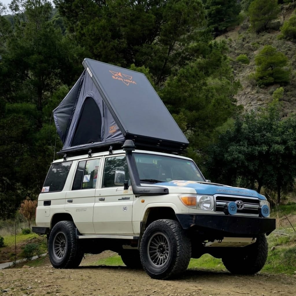
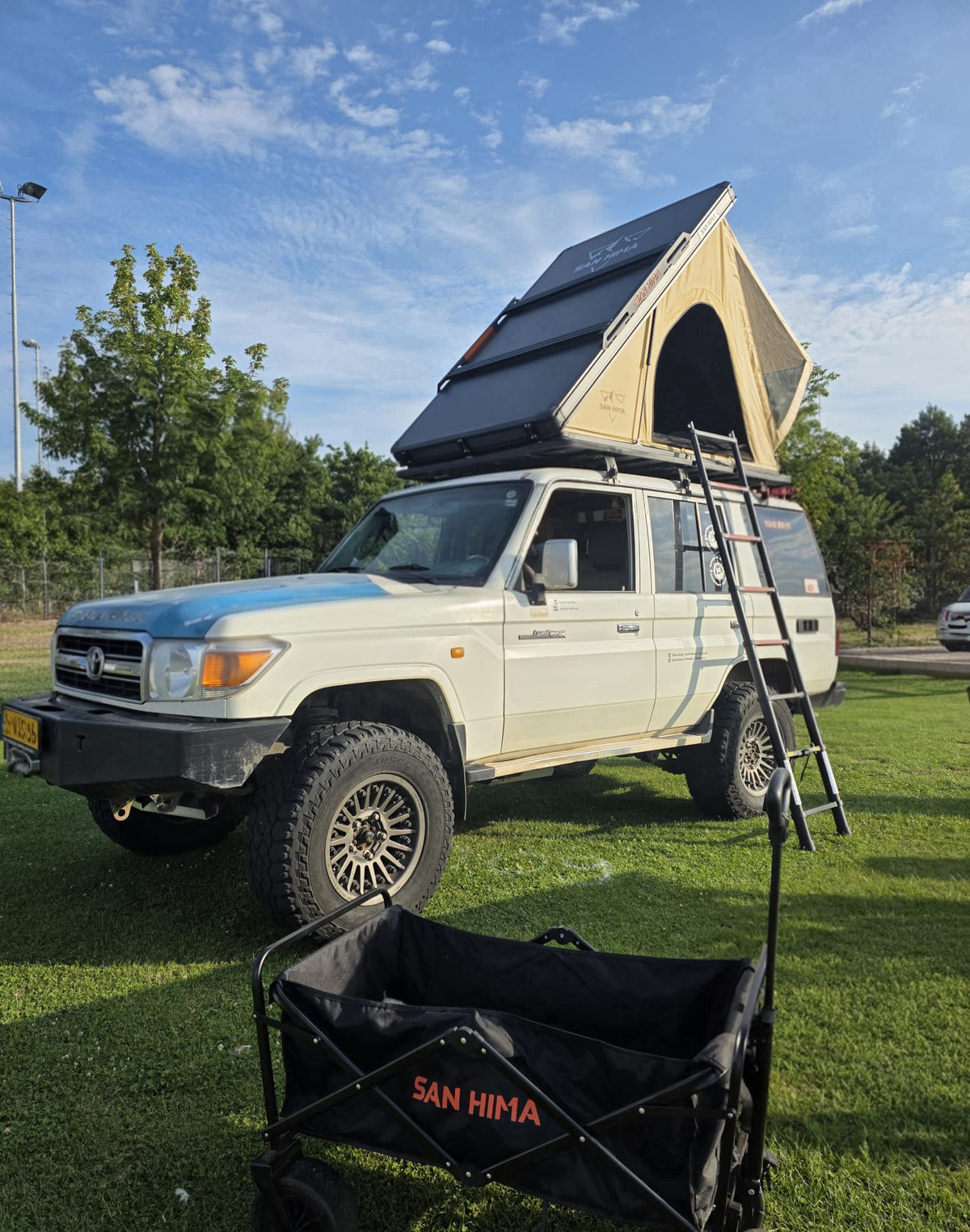
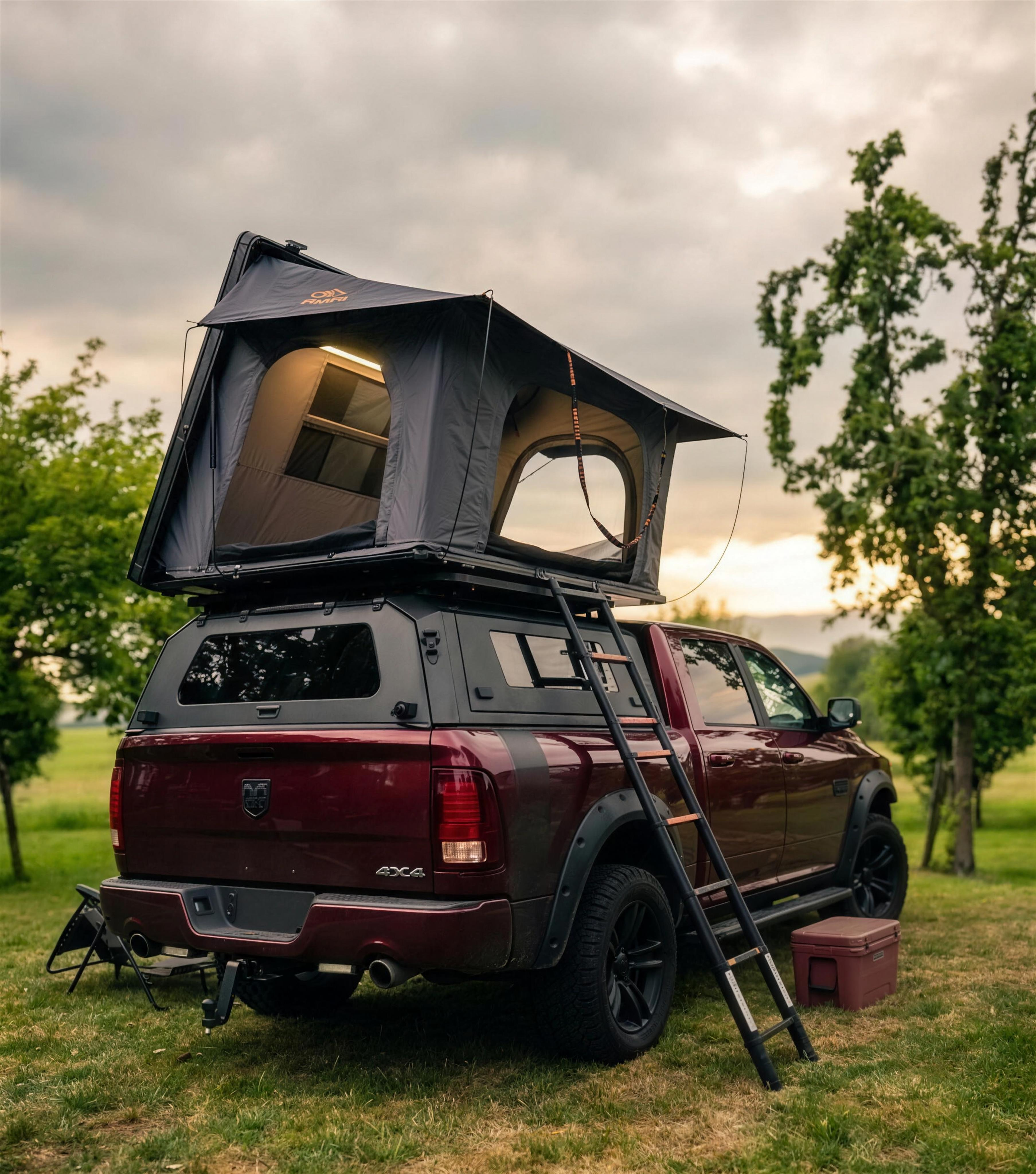
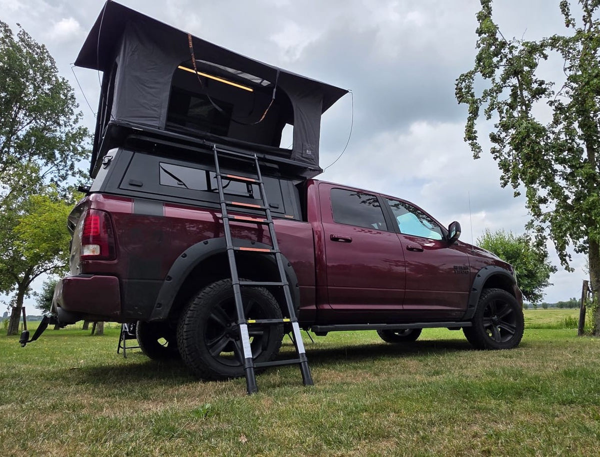
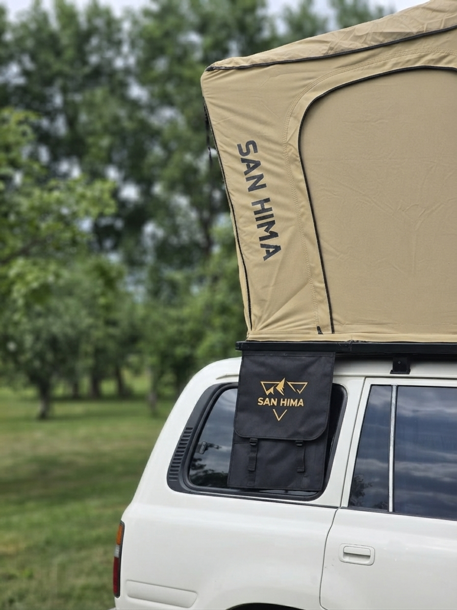
We prefer to drive this route with the LCM Savannah hardshell rooftop tent: our four-season tent that opens at the front, so you lie with your head towards the view. Not sure whether a rooftop tent fits your car? Do the roof load check, subject to your car's manual, always. Which tent suits you is on which rooftop tent suits me.
Free GPX download
Navigating yourself? Download the free GPX of this route and load it into your navigation app: lcm-route-03-ardennen-lus.gpx. The route is indicative: drive on your own navigation and follow the signs on the spot.
The route in short
The 4x4 route through the Ardennes is route number 3 in the LCM Offroad route series, written by Erwin van Dijk and published on 26 September 2026. The route starts and ends in Durbuy in Belgium, is over 150 kilometres long and runs via La Roche-en-Ardenne, Houffalize, Bastogne and Saint-Hubert. The surface is tarmac with some gravel sections. Allow a full day with stops, or spread the loop over a weekend. Drive it between April and October. The GPX file is a free download on this page. You can sleep at campsites along the route, for example Camping de l'Ourthe or Camping Lohan in La Roche-en-Ardenne. Sleeping freely at the roadside is not allowed in Belgium. Questions about the route or about a rooftop tent? LCM Offroad, Gouwe 15, 1718 LK Hoogwoud, the Netherlands, info@lcmoffroad.com, +31 6 28075883.
Frequently asked questions
Can you drive off-road in the Ardennes?
No. In Belgium motor vehicles are only allowed on public roads and forest tracks are off limits, also for 4x4s. This route uses public roads only, so you are always fine.
Is this route suitable for a normal car?
Yes. The route is mostly tarmac, with the odd gravel section. You do not need a 4x4, but it fits in well here.
How long does the 4x4 route through the Ardennes take?
Allow a full day with stops. A weekend is nicer: day one to Bastogne, overnight at a campsite, day two via Saint-Hubert back to Durbuy.
Where can you stay with a rooftop tent in the Ardennes?
At campsites and designated spots. Sleeping freely at the roadside is prohibited in Belgium. Book ahead in high season, especially along the Ourthe.
This was route #3 in the LCM Offroad route series. A new one appears every two weeks, from the West Frisian Omringdijk to far beyond the border. Save it or send it on!